


2eme parcours de la pointe du vauclin et trou cochon

GabyG
User GUIDE
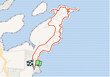

Length
7.3 km

Max alt
58 m

Uphill gradient
178 m
Km-Effort
9.7 km

Min alt
0 m

Downhill gradient
179 m
Boucle
Yes
Creation date :
2023-01-22 12:13:25.408
Updated on :
2023-01-22 21:21:22.327
2h48
Difficulty : Medium

FREE GPS app for hiking
 SityTrail
IGN / Geographical institutes
SityTrail Plus
The world is yours!
About
Trail Walking of 7.3 km to be discovered at Martinique, Unknown, Le Vauclin. This trail is proposed by GabyG.
Description
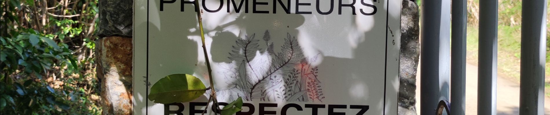
très belle randonnée sportive
Photos


21 photos in total. Please click on a photo to see them all in the gallery.
Positioning
Country:
France
Region :
Martinique
Department/Province :
Unknown
Municipality :
Le Vauclin
Location:
Unknown
Start:(Dec)
Start:(UTM)
732978 ; 1609862 (20P) N.
Comments